About Us
With years of experience doing different projects in Suriname we can now provide a full set of services ranging from basic topographic surveys and large scale Lidar Survey projects. With the introduction of our Bathymetric survey we cover the complete spectrum of surveying services.
Current developments in the local markets resulted in the inclusion of GIS oriented trouble solving for our clients.

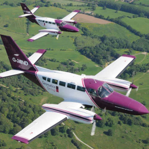
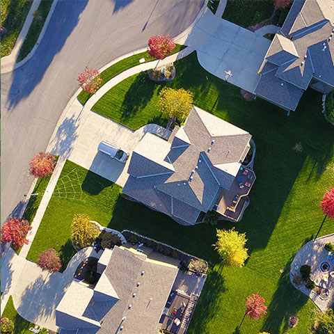
Orthographic Aerial Mapping
Using the latest aerial (drone) technologies we specialize in orthographic and digital elevation model (DEM) mapping, generating accurate 2D and 3D models from aerial data.

Terrestrial Survey
We combine conventional, cutting edge survey equipment and software, GNSS, mobile mapping systems and precise electronic instruments for surveying and mapping.

Civil Engineering
Using sophisticated software we specialize in 3D design of civil works and translating models into workable designs.